MQ-9 Mission Range Across Government, From Security To Wildlife
Remotely piloted aircraft have changed the way intelligence information is collected and disseminated for national security and in wartime environments, but not enough gets said about what they did for the monk seals.
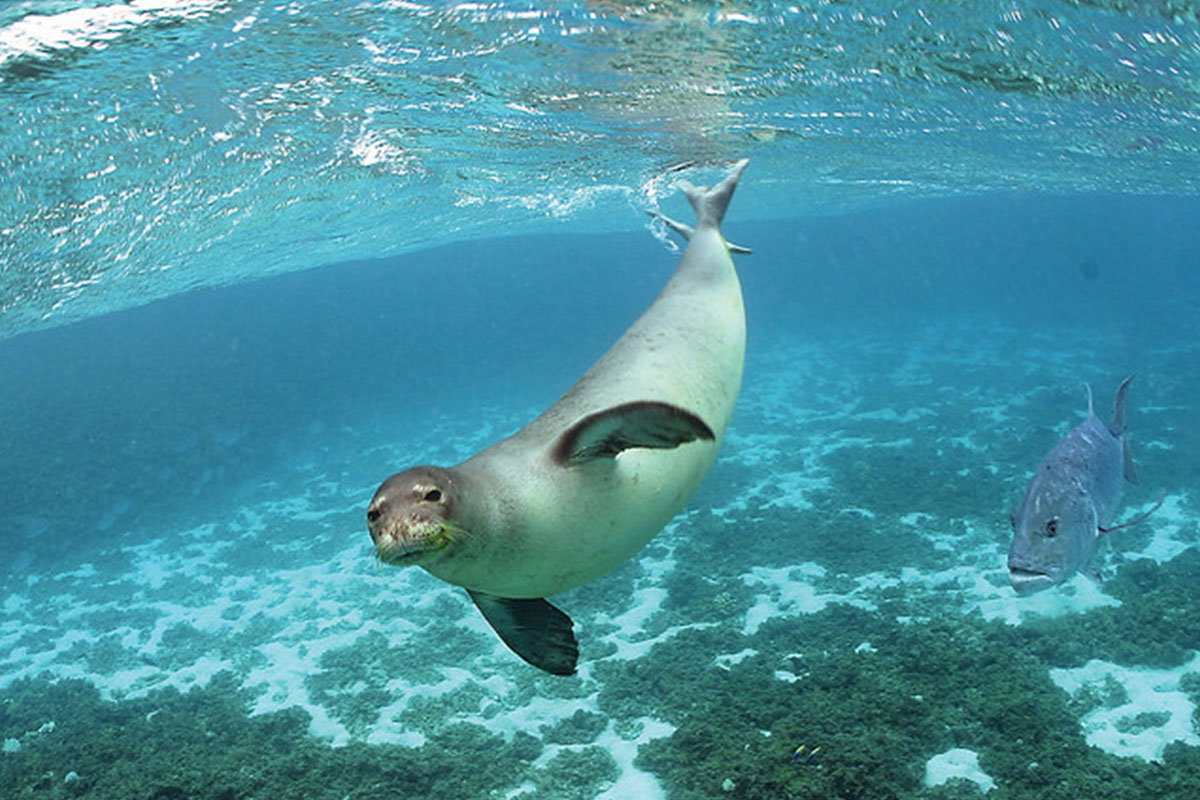
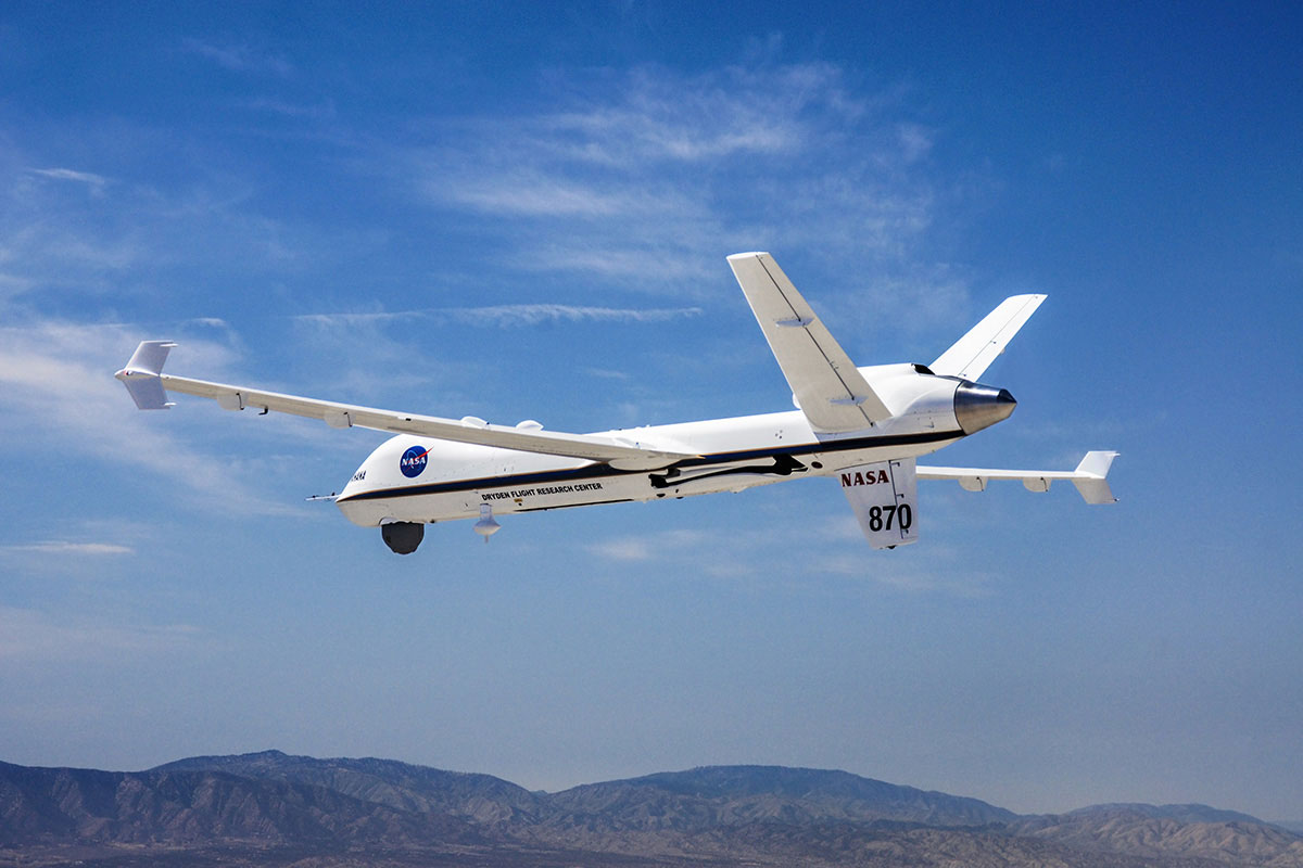
Hawaii’s monk seals are one of the most endangered species of marine mammal in the world. The population of these 400- to 600-pound sea creatures has been in decline for decades. But thanks to the efforts of conservationists, along with the National Oceanic and Atmospheric Administration, the U.S. Fish and Wildlife Service and the National Aeronautics and Space Administration – which contracted and operated the Ikhana unmanned aerial system built by General Atomics Aeronautical Systems, Inc. -- they are making a comeback.
The RPA collected hours’ worth of data about the Hawaiian Islands, including wildlife surveys of monk seals, sea turtles, sea birds and more. These missions not only helped support Hawaii’s big bewhiskered natives to continue their climb back, they exemplified how much more the RPA can do than many people realize.
Aircraft such as the MQ-9B SkyGuardian/SeaGuardian aren’t only for military and intelligence applications. What they provide is an incredible, versatile, stable and long-enduring platform for myriad other applications or civil-support missions.
With high-quality sensors built into each aircraft, the ability to carry a limitless library of specialized payloads, and a flight time of over 30 hours, there is virtually no end to what they can help government organizations accomplish at all levels, in any region.
Endless civil mission applications
Coast Guard-type maritime enforcement missions? Yes.
Border guard-type surveillance and security to support the defense of a national frontier? Yes.
But search and rescue is another critical maritime mission, and the presence of SeaGuardian can take much of the “search” out of the equation.
With its ability to obtain and preserve high-quality domain awareness about big sections of land, coastline or water, the aircraft can help cue a coast guard or lifesaving agency right onto a vessel that might be in distress. Responders can determine in short order, with their own firsthand look via the RPA: Is the troubled ship on fire? Is it taking on water? Are there lifeboats?
The list goes on. Illegal strip mines: Located. Deforestation: identified, located and tracked – to support recovery. Human-trafficking operations: detected and disrupted. Likewise for narcotics smuggling or other contraband.
Another way in which RPA’s have changed government assistance is with natural disaster response, from surveying areas soon after the passage of a severe storm – to assess the state of vital infrastructure, flooding conditions and more – to supporting major intergovernmental wildlife firefighting.
Wildfire response
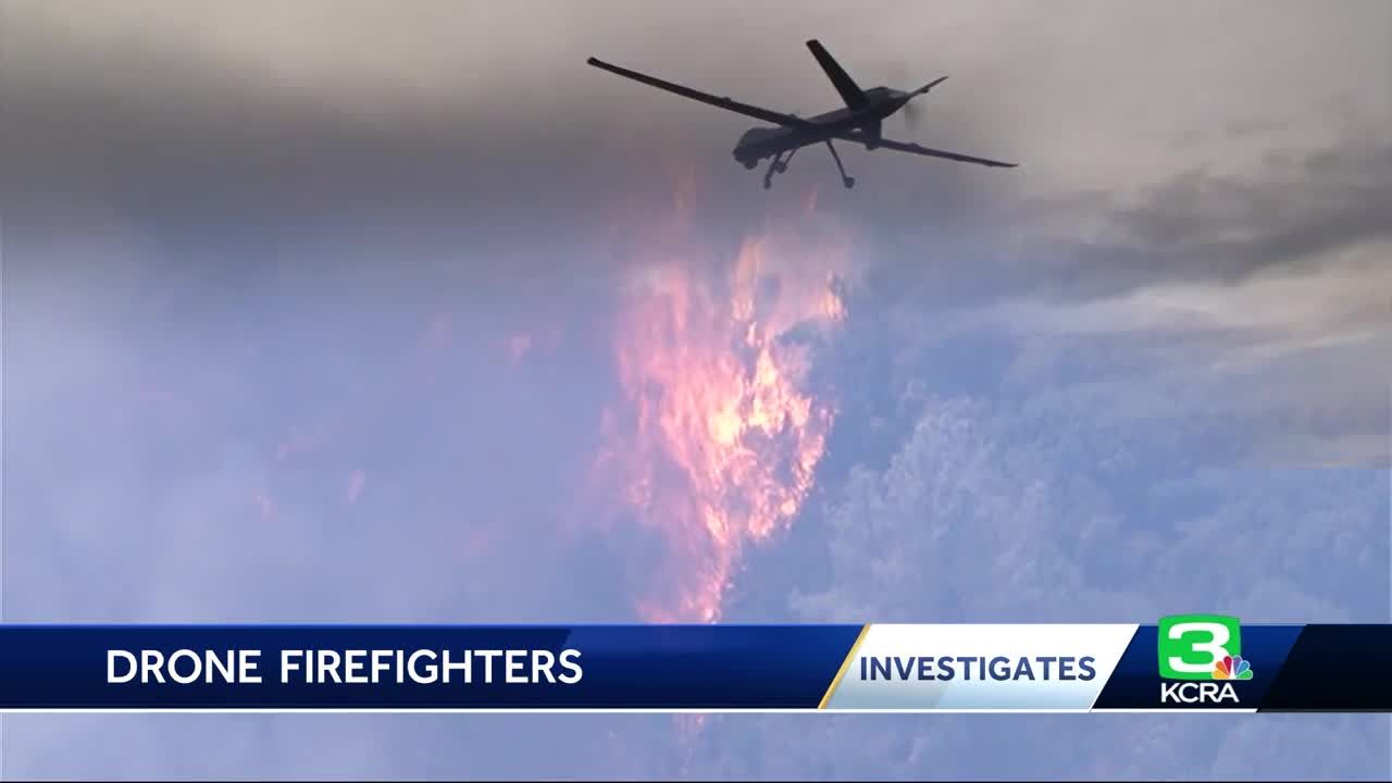
Here’s a detailed look at one such mission set, as an example. MQ-9A Reapers, operated by the California Air National Guard, can fly the length of the entire state to provide fire-mapping surveillance and help decision-makers plan the best course of action in emergency situations. With its ability to operate above 30,000 feet for more than 27 hours at speeds of 240 KTAS, the aircraft has proven itself as an invaluable asset in detecting remote wildfire lines, providing damage assessments and more.
The California Air National Guard’s 163rd Attack Wing flies the MQ-9A upon request by the state’s CAL FIRE agency. The unmanned aircraft system uses GA-ASI’s Lynx® Multi-mode Synthetic Aperture Radar (SAR) to identify fire lines even through hazy, smoke-filled skies. It also employs Electro-optical/Infrared cameras to provide real-time, high-definition images of the fires, which meticulously map the contours of disaster areas.
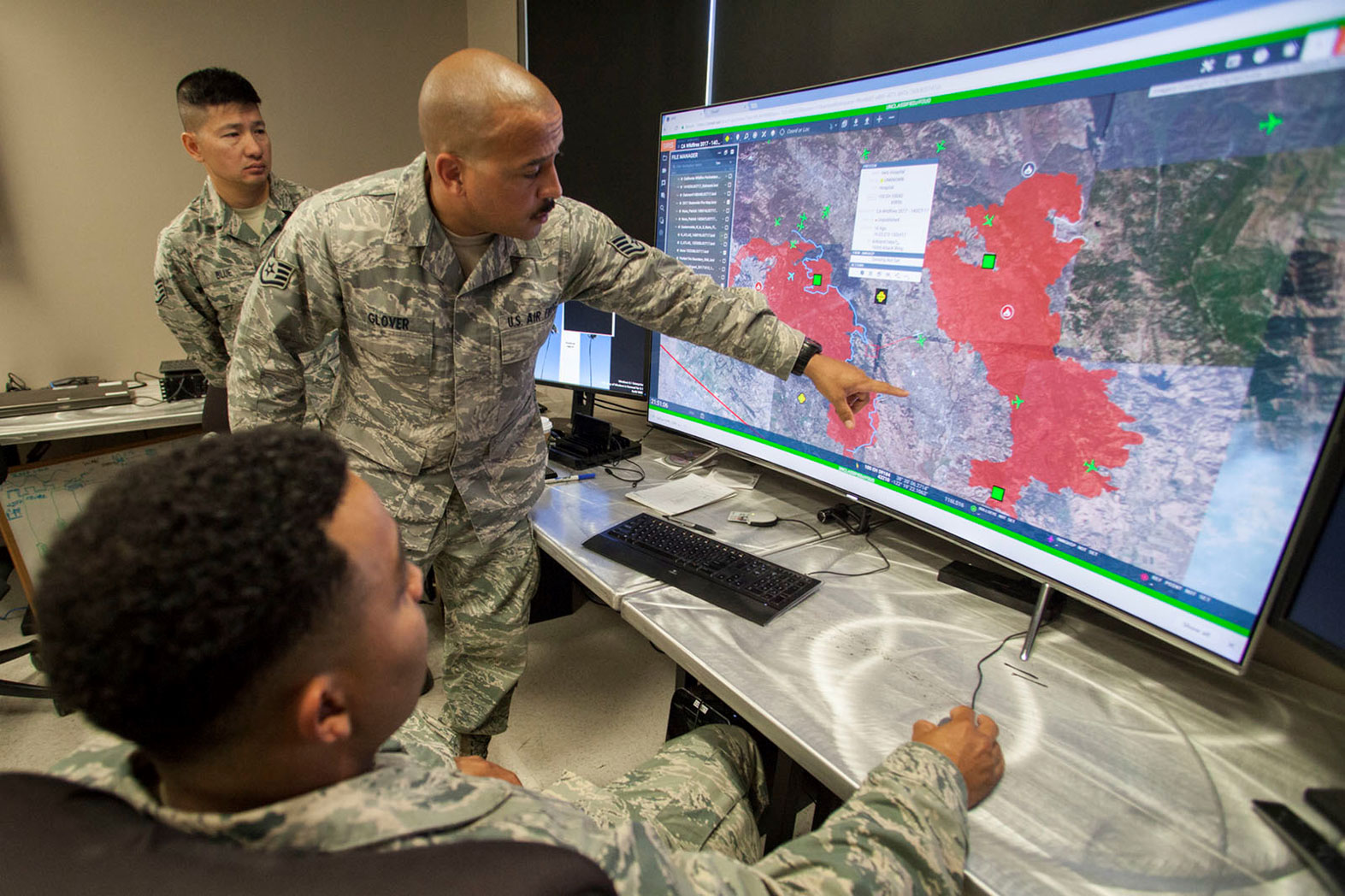
The information gathered by the MQ-9A allows first responders to gain a better understanding of where their help is needed most and can play a pivotal role in the search and rescue of civilians endangered by the fires. The aircraft were especially critical during the 2020 California fire season, the largest wildfire season recorded in California’s modern history. Nearly 10,000 fires had burned over 4.2 million acres by the end of the year.
Firefighting exemplifies the way in which an MQ-9’s interoperability can make such a big difference. A payload such as the Autonomous Modular Sensor gathered data about fires, which was then displayed on Google Earth maps, shared with the Interagency Fire Center in Boise, Idaho, and made available to fire incident commanders to assist in allocating firefighting resources, as NASA put it.
Or a payload might serve as a radio relay for firefighters operating over a large response area. Steep mountains and deep valleys might constrain a response team’s ability to talk with each other over their high-frequency radios. With an MQ-9A overhead, carrying equipment to serve as a network node, teams can remain in touch even when they aren’t within each other’s line of sight.
In the summer and fall of 2020, the number of MQ-9A operations to support wildfire surveillance more than doubled any previous years’ operations. The aircraft helped emergency crews coordinate responses, find safe landing sites for other aircraft -- and save lives.
Wildlife dangers aren’t unique to the United States – but neither are many techniques used to fight them, which means the Reaper and aircraft like it, such as the newer SkyGuardian/SeaGuardian, are applicable everywhere.
High-definition oversight
Although wildfire response is a good case study in the way RPAs make a difference, there are many other ways in which these same practices can work elsewhere.
The Lynx radar can produce highly accurate strip maps of long objects or structures – such as highways, pipelines, canals, or any other infrastructure that officials need to monitor in detail over time.
Other sensors can monitor forest foliage, crop performance, water levels, coastal conditions and more. When networked together, RPAs can provide surveillance or other awareness over huge areas, compounding the picture that officials can build about whatever they need to survey.
So, even though aircraft such as the Reaper and SkyGuardian/SeaGuardian already have changed the world at least once over, there is more to be done, in more ways, in more places. They are only getting started.
---
KCRA Channel 3. (2018). Drones with military precision help crews battling CA wildfires [Video]. KCRA Channel 3. https://www.kcra.com/article/drones-with-military-precision-help-crews-battling-ca-wildfires/22504101
USFWS Headquarters. (n.d.). Monk Seal [Photograph]. Flickr. https://www.flickr.com/photos/50838842@N06/5897220552
sUAS News. (2017). MQ-9 UAS Used to Support Fire Fighting Efforts in Northern California [Photograph]. sUAS News. https://www.suasnews.com/2017/10/mq-9-uas-used-support-fire-fighting-efforts-northern-california/
Original News Article: 163d Attack Wing activates for fire support > 163d Attack Wing > Article Display (af.mil))